 |
| A boat coming into Tomahawk Island, OR |
 |
| More sailing near Portland International Airport (PDX) |
 |
| Into downtown Portland, OR |
 |
| Portland, OR |
 |
| Mom in the back working....Max navigating (sort of) |
 |
| Binky along for the ride |
 |
| WOW! Now that's a tow. |
 |
| Artsy cloud pic |
 |
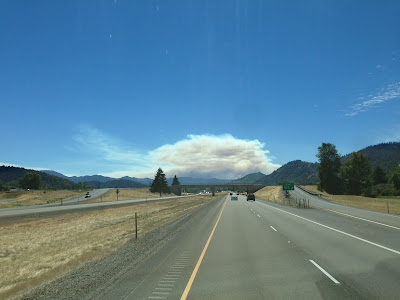
| The wildfires in southern Oregon |
 |
| Mt. Ashland, OR |
 |
| Into California |
 |
| You don't see too many exit 796s! |
 |
| California Border Check...not quite sure what they are looking for...you just slow down and then off you go back on the I-5. |
 |
| The creek in the Redding, CA campground...with 100+ degree temps we aren't surprised to see it all dried up. |
 |
| Binky playing in the "creek" |
 |
| Laundry in Redding, CA - The homeless and vagrants are quite chatty |
 |
| The boys holding paws. Binky is having a ruff go of it lately. |
 |
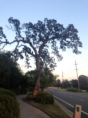
| Sunset at Hilltop in Redding, CA |
 |
| Mad-Max type local....note the rifle on his back...... |
 |
| Tomatoes heading for the canneries - summer pack season. |
 |
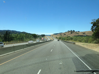
| Into Sacramento, CA |
 |
| Prairie Dogs at a rest stop |
 |
| Prairie Dog holes |
 |
| Sacramento, CA |
 |
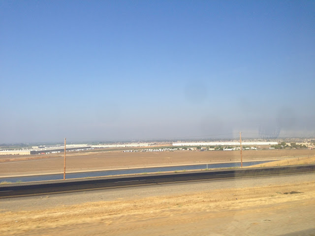
| Patterson, CA |
 |
| Sunset in Patterson, CA |


No comments:
Post a Comment